

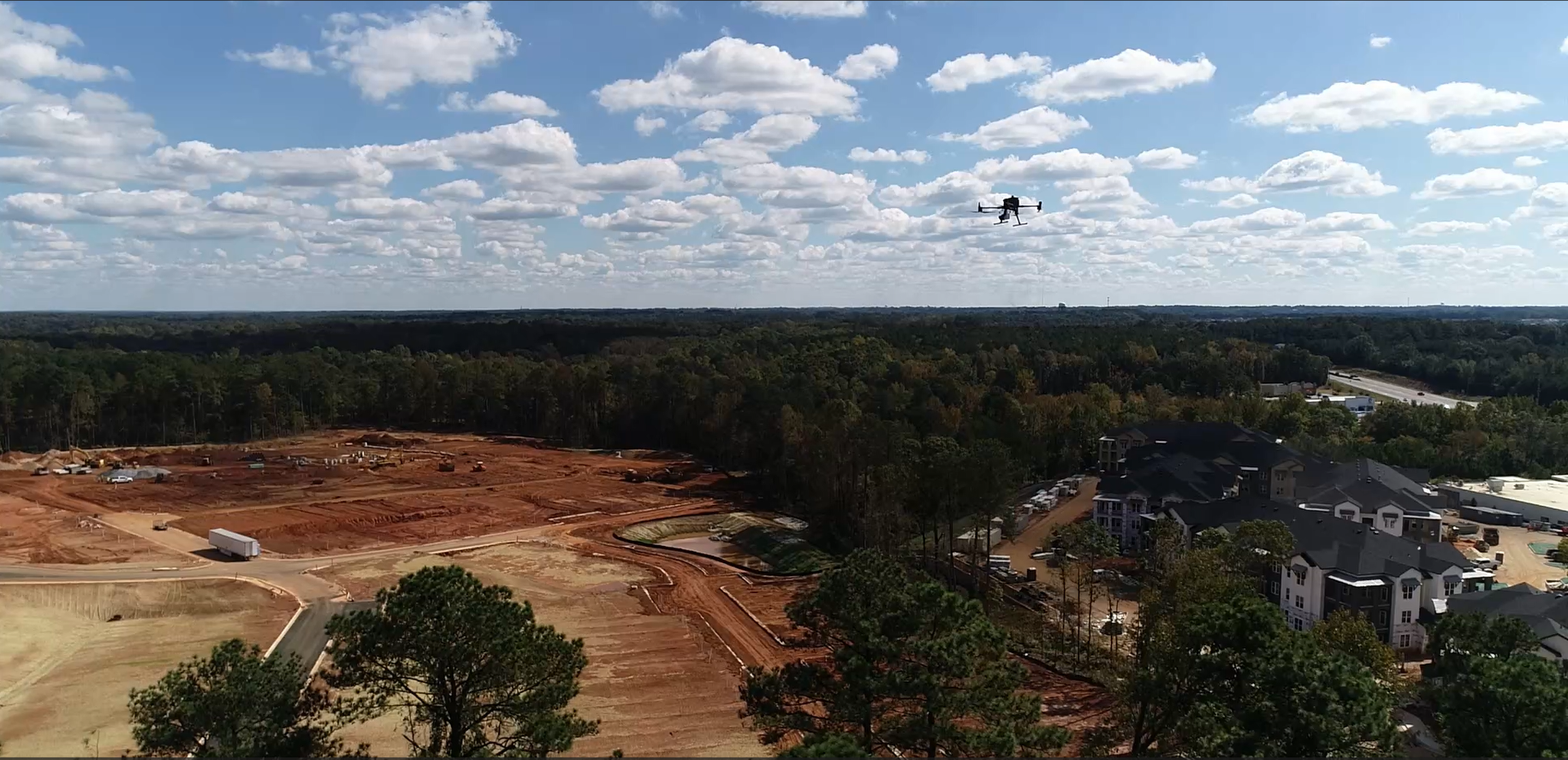
Drone & LIDAR Processing
Exactly what you need, by expert data analysts with field and office survey experience.

Basic LiDAR PRocessing
Ground Classified Point Cloud (LAS/LAZ)
1’ or 0.5m Contours, DEM GeoTiff
LandXML or Point Grids per request
Delivered as ready to go DWG or DXF with all layers
Starting at $3 an acre, $350 minimum

Advanced LiDAR PRocessing
Fully Classified Point Cloud per Customer (LAS/LAZ)
Ground, Buildings, Vegetations, Poles, Wires
Fully customizable
1’ or 0.5m Contours, DEM GeoTiff
Starting at $20 an acre, $500 minimum

Orthomosaic Processing
Orthophoto with GCP’s
Hourly with $150 minimum

Utility SCALE LiDAR
Manned Aircraft or UAS Capture- any Point Cloud
Vegetation Management
Classified Point Cloud
Custom Deliverables Available
Custom Pricing

Planimetrics
2D or 3D Polylines
Use your layers or ours
Delivered as ready to go DWG or DXF with all layers
Drawn off Orthomosaic or LiDAR Data
2D $20 an acre, $500 minimum
3D $25+ an acre, $500 minimum

Cut/Fill Earthworks Data
Ground Classified Point Cloud (LAS/LAZ)
1’ or 0.5m Contours, DEM GeoTiff, Cut/Fill Heat Map
Cut/Fill numbers and backup data
Delivered as ready to go DWG or DXF with all layers
You supply the comparison surface, we’ll do the rest.
Show month to month or to final or existing grade!

RAW LiDAR PRocessing
PCMaster
DJI Terra
Strip Alignment Available
Hourly with $150 minimum
What people are saying
“Wow, you’re fast.”
— Surveyor in Georgia