WHAT IS LIDAR
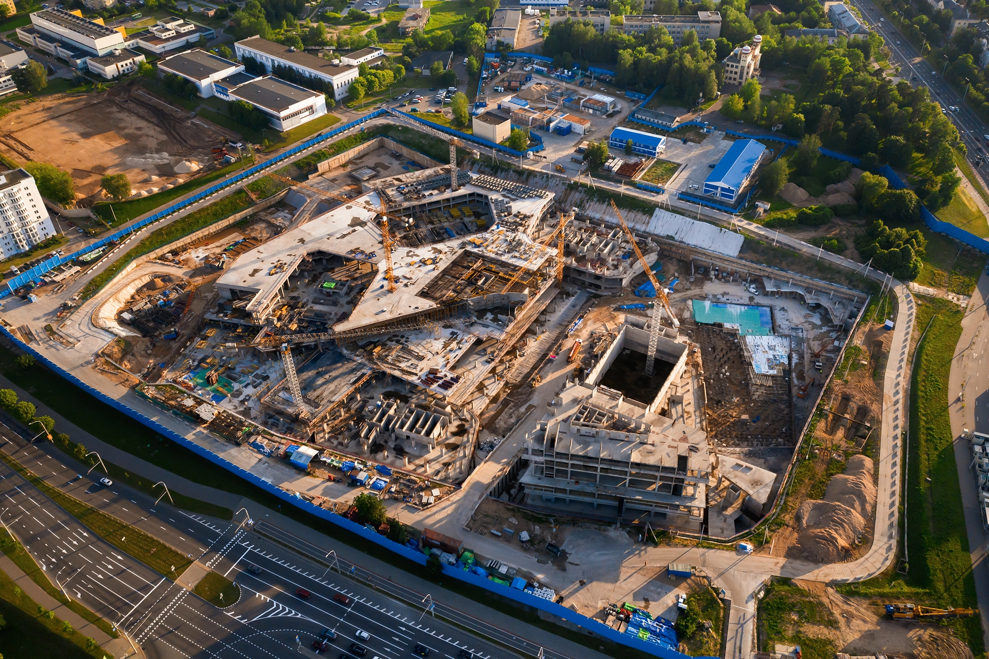
WHAT IS LIDAR? UNLOCKING PRECISION IN SURVEYING AND ENGINEERING WITH DRONE MAPPING In urveying and engineering, precision is not just a requirement; it’s the standard. Emerging technologies have continuously pushed
WHAT IS LIDAR? UNLOCKING PRECISION IN SURVEYING AND ENGINEERING WITH DRONE MAPPING In urveying and engineering, precision is not just a requirement; it’s the standard. Emerging technologies have continuously pushed
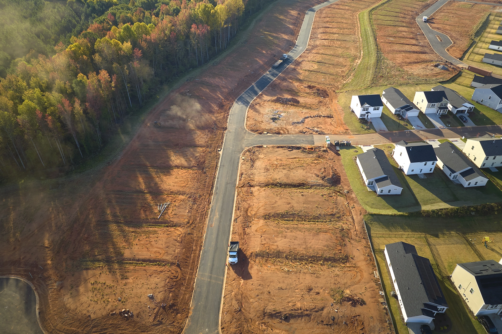
In the fast-paced world of construction and surveying, time is a valuable asset. Drone LiDAR mapping is revolutionizing these industries, offering a time-efficient solution that translates directly into profitability. Basemap