WHAT IS LIDAR
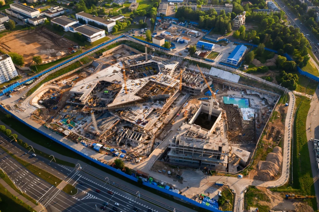
WHAT IS LIDAR? UNLOCKING PRECISION IN SURVEYING AND ENGINEERING WITH DRONE MAPPING In urveying and engineering, precision is not just a requirement; it’s the standard. Emerging technologies have continuously pushed the boundaries of accuracy, and at the forefront of this evolution is LiDAR mapping, especially when combined with the agility of drones. Surveyors can harnesses […]
HOW DRONE LIDAR MAKES YOU MONEY
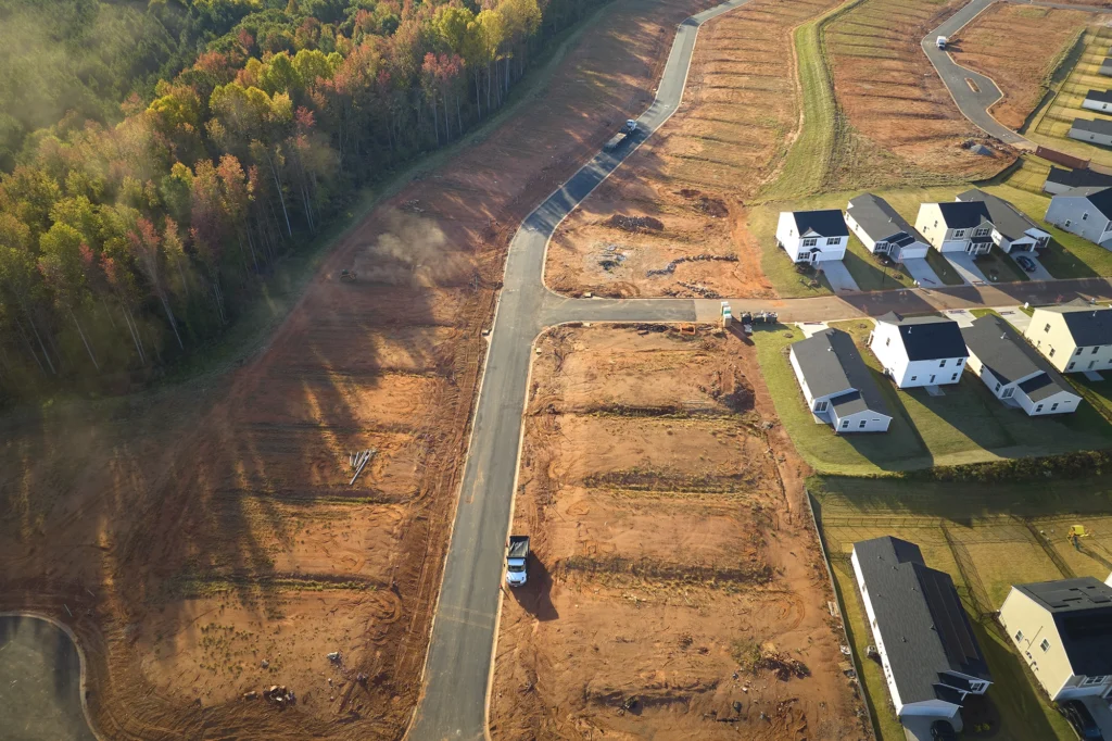
In the fast-paced world of construction and surveying, time is a valuable asset. Drone LiDAR mapping is revolutionizing these industries, offering a time-efficient solution that translates directly into profitability. Basemap Consulting stands at the lead of this innovation, streamlining the transition from project planning to execution and delivering high-quality CAD-ready surfaces. The Efficiency of […]