At Basemap Consulting, we are expanding our expertise to offer professional surveying services in Florida. With a strong foundation in aerial data collection and geospatial solutions, our survey division is built on precision, efficiency, and cutting-edge technology. Whether you’re developing land, managing infrastructure projects, or ensuring accurate site documentation, our licensed survey professionals provide the critical data you need to move forward with confidence.
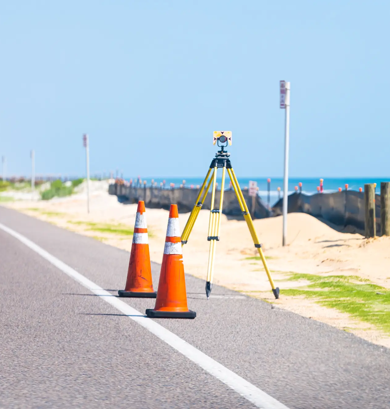
Our team specializes in delivering high-accuracy surveying solutions tailored to your project needs. Using a combination of traditional survey methods, aerial sensing, terrestrial scanning, and hydrography, we ensure every project is backed by the most detailed and reliable geospatial information available. By leveraging these advanced technologies, we can efficiently collect high-quality data across diverse environments, including urban developments, dense vegetation, and water bodies.
Providing land measurements and elevation data to support development, engineering, and planning.
ALTA/NSPS Land Title Surveys
Meeting all necessary legal requirements for land transactions and real estate development.
Utility & Infrastructure Surveys
Mapping essential assets such as pipelines, roadways, and power lines with precision.
Flood Elevation Certificates
Supporting FEMA compliance and insurance requirements with detailed elevation reports.
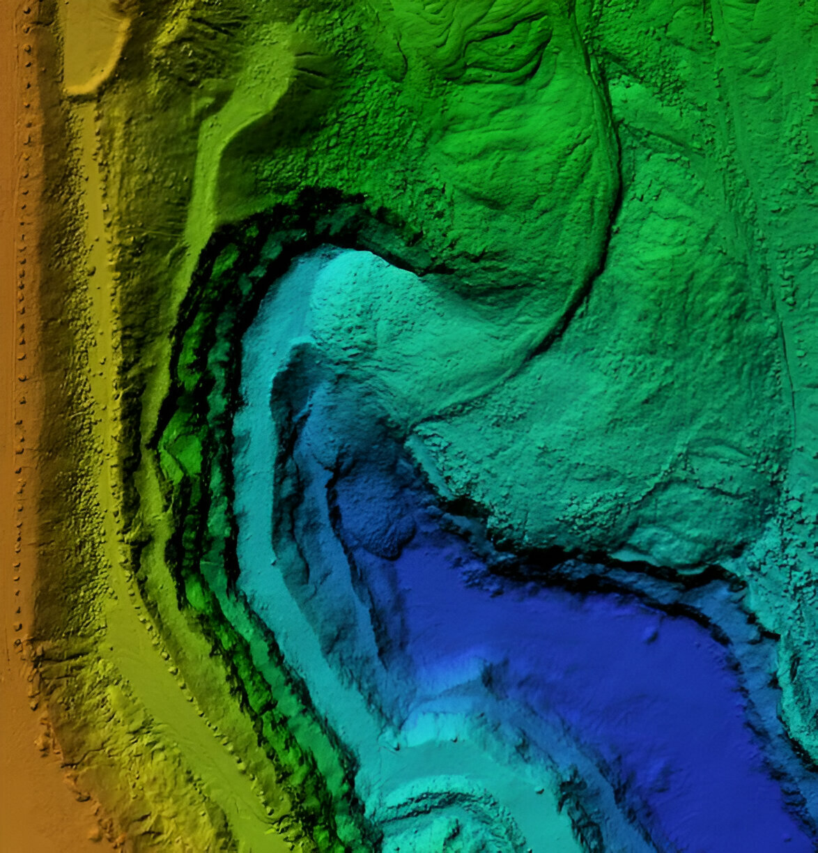
Drone & LiDAR-Enhanced Surveys
Integrating cutting-edge technology to improve efficiency and accuracy in data collection.
Why Choose Basemap Consulting?
With years of experience in geospatial data collection, Basemap Consulting brings a unique advantage to the surveying industry. Our seamless integration of manned and unmanned aerial data enhances traditional surveying techniques, reducing field time while delivering highly accurate results. We utilize aerial sensing, terrestrial scanning, and hydrographic surveys to capture critical details with superior accuracy, even in challenging environments.
✅ State-Licensed Surveyors – Ensuring compliance with Florida regulations.
✅ Advanced Technology – Leveraging drones, LiDAR, aerial sensing, and 3D modeling to improve precision and efficiency.
✅ Industry Expertise – Supporting engineers, land developers, and utility companies with comprehensive solutions.
✅ Reliable & Fast Turnaround – Delivering high-quality survey data on time and within budget.
If you need professional surveying services in Florida, Basemap Consulting is your trusted partner. Contact us today to discuss your project and see how our expertise can help you achieve accurate, reliable results.