Aerial Data Processing

You Fly the Drone, We Handle the Data Processing

Photogrammetry, Topography, and Planimetrics

Generate CAD Files from Your Drone Data, Expert-verified Planimetric Feature Extraction, Accurate and Clean Topographic Data

01. Precision Vertical Accuracy

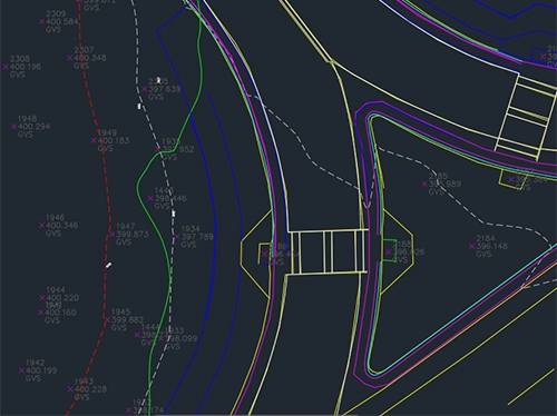
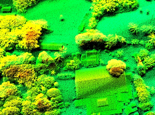
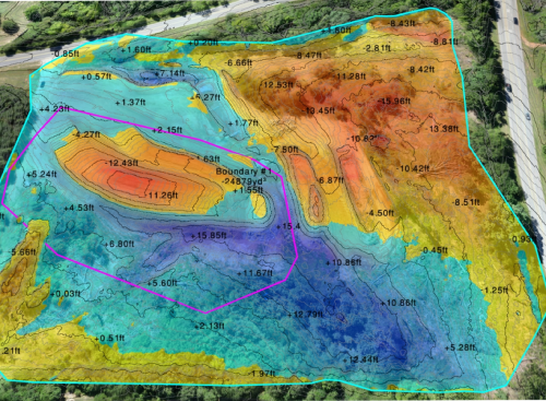
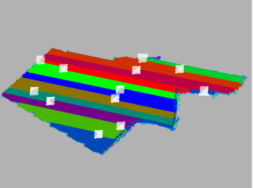
Achieve 0.1’ vertical accuracy with ASPRS standards

02. Quick and Reliable Delivery

Receive precise CAD files in days, not weeks

03. Top-Notch
Quality

Benefit from expert-verified data processing

04. Comprehensive Linework

Combine drone photogrammetry with CAD drafting services

Our Data Processing Services

Exactly what you need, by expert data analysts with field and office survey experience.

01. BASIC LIDAR PROCESSING

02. PLANIMETRICS

03. ADVANCED LIDAR PROCESSING

04. CUT/FILL EARTHWORKS DATA

05. ORTHOMOSAIC PROCESSING

06. RAW LIDAR PROCESSING