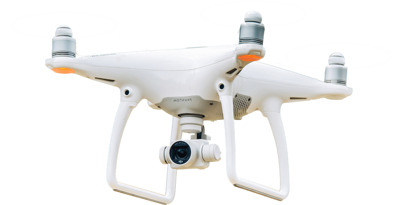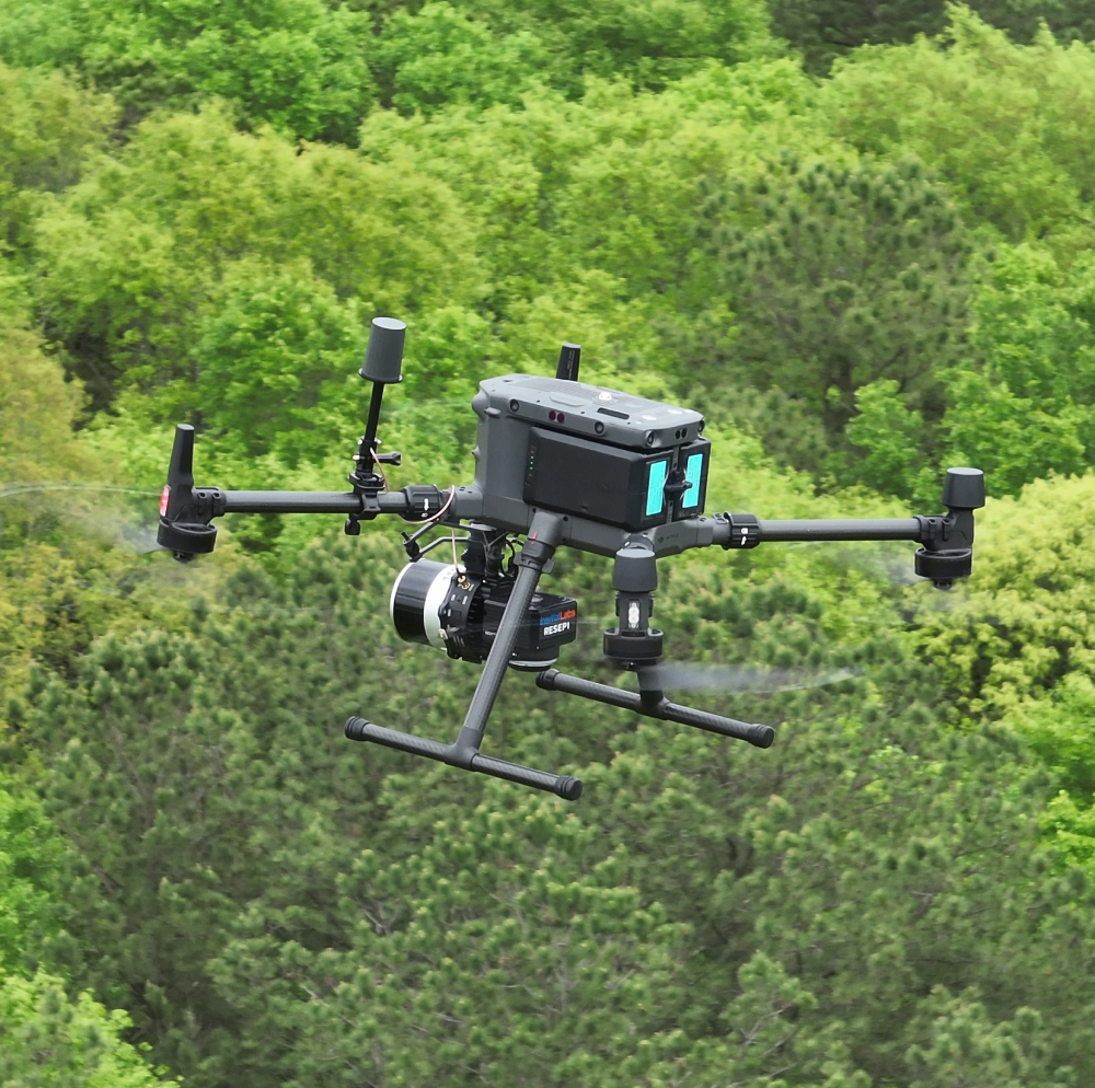
You need more than just another drone service provider. Basemap Consulting is comprised of data collection experts that seamlessly integrate our acquisition methods with your workflow and desired deliverables. We leverage innovative technology and years of experience to elevate your capabilities, and ensure your success. From drone mapping and LiDAR to consulting and project management, we’re here to help. Whether we fly it, or you fly and just need help with the data, Basemap is your partner in the drone mapping business.
With Basemap Consulting, you will always be one step ahead.

We help you achieve your project goals with accurate insights and dependable solutions. From keeping track of progress to providing detailed inspections and energy-focused strategies, our services ensure smooth execution and outstanding results across industries.
As professionals in surveying, we know the value of data that works for you. That’s why we deliver aerial mapping with pinpoint precision and clarity, giving you CAD files that are ready to integrate seamlessly into your workflow.
At Basemap, we believe in simplicity and efficiency. Our results come in the format you need—no messy file conversions, no unnecessary storage hassles, just dependable data you can rely on time and time again.
By harnessing the power of aerial mapping, we don’t just provide solutions—we redefine how projects are completed, helping you save time, reduce costs, and achieve exceptional results.

At Basemap Consulting, precision isn’t just a goal—it’s a guarantee. By partnering with Professional Licensed Surveyors, we ensure every project meets the highest legal and accuracy standards, delivering results you can rely on with confidence.
Anyone can buy a drone and take to the skies, but meaningful results require experience, expertise, and a deep understanding of the craft. With over 20 years of combined mastery in surveying and mapping, we turn raw data into actionable insights. When it comes to drone mapping, don’t settle—trust the team that defines excellence.

Website powered by Dotkom Consulting